
Denhoff, N.D. — A massive and highly dangerous wedge tornado has been confirmed on the ground near Denhoff and McClusky in Sheridan County, North Dakota, prompting urgent warnings from the National Weather Service (NWS) and local emergency officials.
The tornado, reported by multiple trained spotters and storm chasers late Sunday afternoon, has already drawn comparisons to some of the most destructive storms in recent state history. The NWS issued a Particularly Dangerous Situation (PDS) Tornado Warning, underscoring the extreme risk to life and property.
A “Life-Threatening Situation”
In a strongly worded alert, meteorologists warned residents:
“This is a life-threatening situation. Take cover now. Move to a basement or an interior room on the lowest floor of a sturdy building. Avoid windows. If you are outside, in a mobile home, or in a vehicle, move to the nearest substantial shelter and protect yourself from flying debris.”
Local authorities activated tornado sirens across Sheridan County and began urgent outreach to ensure residents understood the seriousness of the threat. Emergency crews were dispatched to monitor conditions and assist with road closures near the storm’s projected path.
Eyewitness Accounts
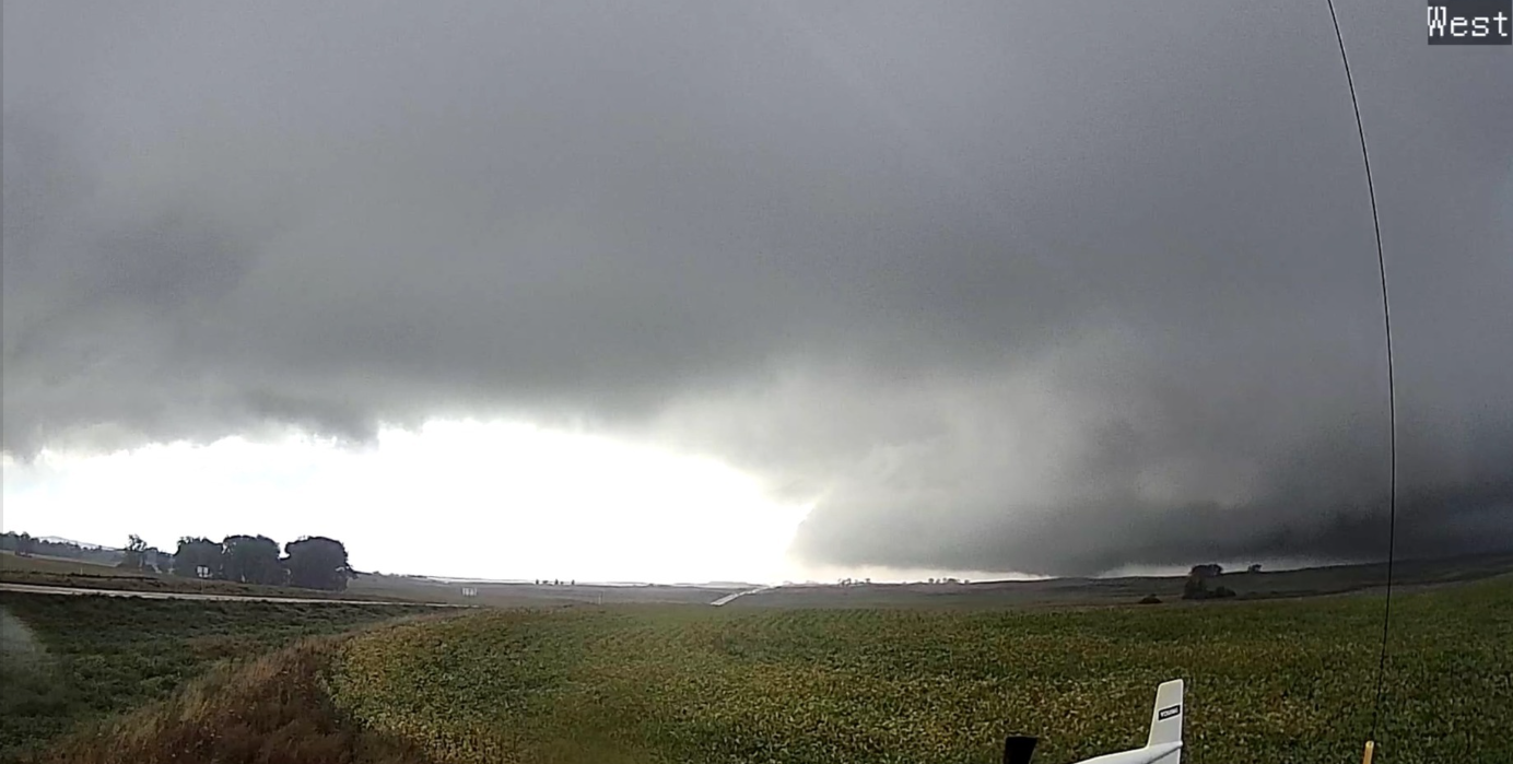
Video and photographs from storm chasers showed a large, wedge-shaped tornado churning across open farmland near Denhoff. The sheer width and dark, rotating cloud base suggested a powerful and destructive system capable of flattening homes, snapping power lines, and uprooting trees.
“I’ve chased storms across the Plains for years, and this one is no joke,” said one storm observer. “It’s a classic wedge — wide, violent, and extremely dangerous.”
Residents in nearby McClusky and surrounding rural communities have been urged to remain sheltered until the warning expires or is lifted.
Current Impact
As of early evening, there were no confirmed reports of injuries or major structural damage, but officials cautioned that information is still developing. Power outages have been reported in parts of Sheridan County, and local utility crews are on standby to begin repair work once it is safe to do so.
The storm system remains highly volatile, and forecasters warn that additional tornadoes, large hail, and destructive winds are possible as it tracks eastward across central and eastern North Dakota.
Safety First
Authorities continue to stress the importance of acting immediately when warnings are issued. The NWS recommends residents take the following steps:
- Seek shelter immediately in a basement or storm-safe area.
- If no basement is available, move to an interior room on the lowest floor, away from windows.
- Cover yourself with helmets, pillows, blankets, or mattresses to protect from flying debris.
- Stay tuned to local authorities, radio, or NOAA weather updates for the latest developments.
Continuing Coverage
This developing situation is being closely monitored by emergency responders, meteorologists, and state officials. Residents across North Dakota are urged to remain alert, as Sunday’s severe weather outbreak is expected to continue well into the evening.